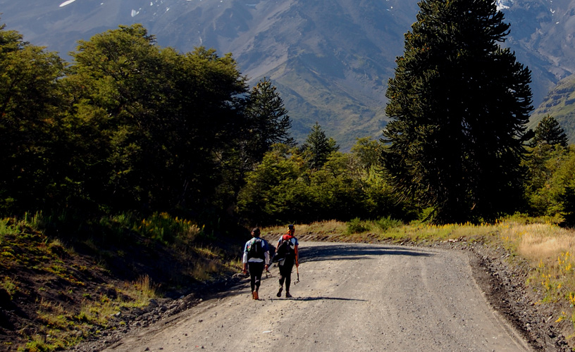
More and more of us choose San Martín de los Andes every year as a longed-for destination to sleep under the stars during our vacations. Camping and hiking across the forests have been enhanced after Huella Andina, a project that joins the northern Patagonian Andes, was created. We were provided information as well as maps of the circuits close to the city at the Lanín National Park station. We were backpacking and carrying the necessary apparel and accessories. We chose a stretch near Lake Lácar, going from Quila Quina to Puesto Casanova. The first directions helped us get to Quila Quina, a nearby settlement which may be accessed through the lake or following a gravel road. There is a recreational campsite at this location. We took the launch at the local pier and reached our destination half an hour later. Once there, we took the street that starts at the berth and found our way uphill with the help of a local denizen. It was a well defined trail.
A Section of the Andean Track
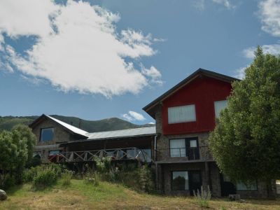
We got past a very beautiful cascade on the creek known as Arroyo Grande. We stopped there for a while to take some photographs. Then we bordered the Mapuche hamlet. The watercourse remained to our right. We followed trails and dirt shortcuts. After a soft descent, we crossed a brook using a log and then an open clearing up to a vehicle track. We followed it and came to three gates that appeared in the map. As we crossed each of them, we took care to close them in order to prevent the animals from escaping. We reached Puesto Casanova after having confirmed that the signs were correct and helped us find our way around and join the different points without any problem. This place is rarely visited by foreigners. We were thrilled to see how the locals came towards us to give us a warm welcome. The Casanovas are criollo inhabitants of this place. They arrived at this area in the early twentieth century. Today, they offer a campsite and a dome-like cabin as accommodation options. We had packed our own tent so we spent the night there. We had a rest and talked to these people in order to learn more about their culture, their history and lifestyle. We were invited to go on a horseback ride and to taste traditional food (including tortas fritas). Of course we could not say "no". We organized a ride on horseback together to a nearby cascade the following day. From this point onwards, Huella Andina goes on towards Ruca Ñire. We felt tempted to go on hiking but finally changed our mind as this stretch demanded a greater physical effort. Huella Andina is part of a more ambitious project known as Senderos Argentina (Argentina Trails), which is supposed to increase tourism amidst nature. The circuits near San Martín de los Andes are pioneers in the country and provide the possibility to open up the range of activities in unspoiled spaces by joining different spots. The idea is to add sign-posts and services to the already existing shortcuts according to region. Once we settled down at the campsite, we lit a fire to fight the cold night temperature and prepare supper. The aroma of the forest was more present than ever and when the last pieces of firewood burned down, we resolved to get our tiredness into our sleeping bags and say good-night.
Find here hotels and accommodations in San Martín de los Andes
Mónica Pons
Eduardo Epifanio
Contact of the excursion or tour
Intend. Parque Nacional Lanín
E. Frey 749, San Martín de los Andes, Neuquén, Argentina
Phone: +54 2972-427233
Puesto Casanova-Ruca Ñire stage: 15.7 kilometers; duration: 7 hours. Difficulty: intermediate.
At the start: recreational camping site
At the end: primitive camping site
November thru April every year
Choose a circuit that suits the abilities of all members of the group.
Pack a spare pair of footwear to cross creeks.
