Coyhaique
 Coyhaique - Photo Eduardo Epifanio
 The City of Coyhaique is located in southern Chile, in the province bearing the same name, and it is part of the Eleventh Region of Aysén del General Carlos Ibáñez del Campo. Two circuits reach Coyhaique: through the sea from Puerto Montt or from Quellón, in Chiloé, up to Lake San Rafael, and through Camino Longitudinal Austral (Southern Longitudinal Path), across impressive sceneries made up by lakes, snowdrifts, ancient woodlands and countless views of extreme beauty.
The name Coyhaique or Coihaique derives from the Tehuelche words koi, which stands for "pond", and áiken, which means "camp". Coyhaique is the capital of the region, a center where visitors may set out on a journey towards knowledge, as it features territories still unexplored by man. A fact which undoubtedly encourages adventure travel.
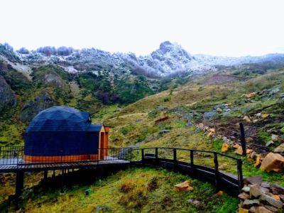
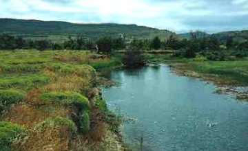
The city was founded in 1929. Therefore, it is one of the youngest cities in Chile. The district is surrounded by two rivers (Simpson and Coyhaique) and snow-capped mountains.
Walking down Simpson Street towards Teniente Vidal aerodrome, on the eastern bank of the Simpson River, visitors will see Piedra del Indio, a rock formation reminiscent of an Indian figure. The best location to observe this majestic feature is on the bridge across the river. The Handicrafts Market, where local artists and craftsmen show their works made of wool, leather, pottery, stone and wood, is not to be missed.
Some of the most significant lakes in Chile may be visited while staying at Coyhaique. These water bodies are usually shared with Argentina: Lake General Carrera or Lake Buenos Aires, Lake O’Higgins or Lake San Martín and Lake Cochrane or Lake Pueyrredón. The major rivers are Aisén, Simpson and Baker: short but plentiful. Protected natural spaces include Laguna San Rafael National Park, occupying 1,742,000 hectares where the San Rafael and San Quintín Glaciers are located, and Río Simpson National Reserve.
Only 160 kilometers down Carretera Austral (the Southern Road) towards the Puyuhuapi Hot Springs, there lies Queulat National Park, to the north of Lake Risopatrón. This protected area unfolds along the shore of Seno Ventisquero and across 154,093 hectares that preserve a lush native wildlife, as well as glaciers and rivers.


